Detecting what was deemed undetectable before
Quantum detectors take geophysical exploration to a new level. Measurements with sensitive quantum-limited magnetic field sensors allow exploration of deeper deposits with high resolution. The exceptionally wide dynamic range enables efficient data collection with significantly shorter acquisition times than conventional detectors.
QMAGT
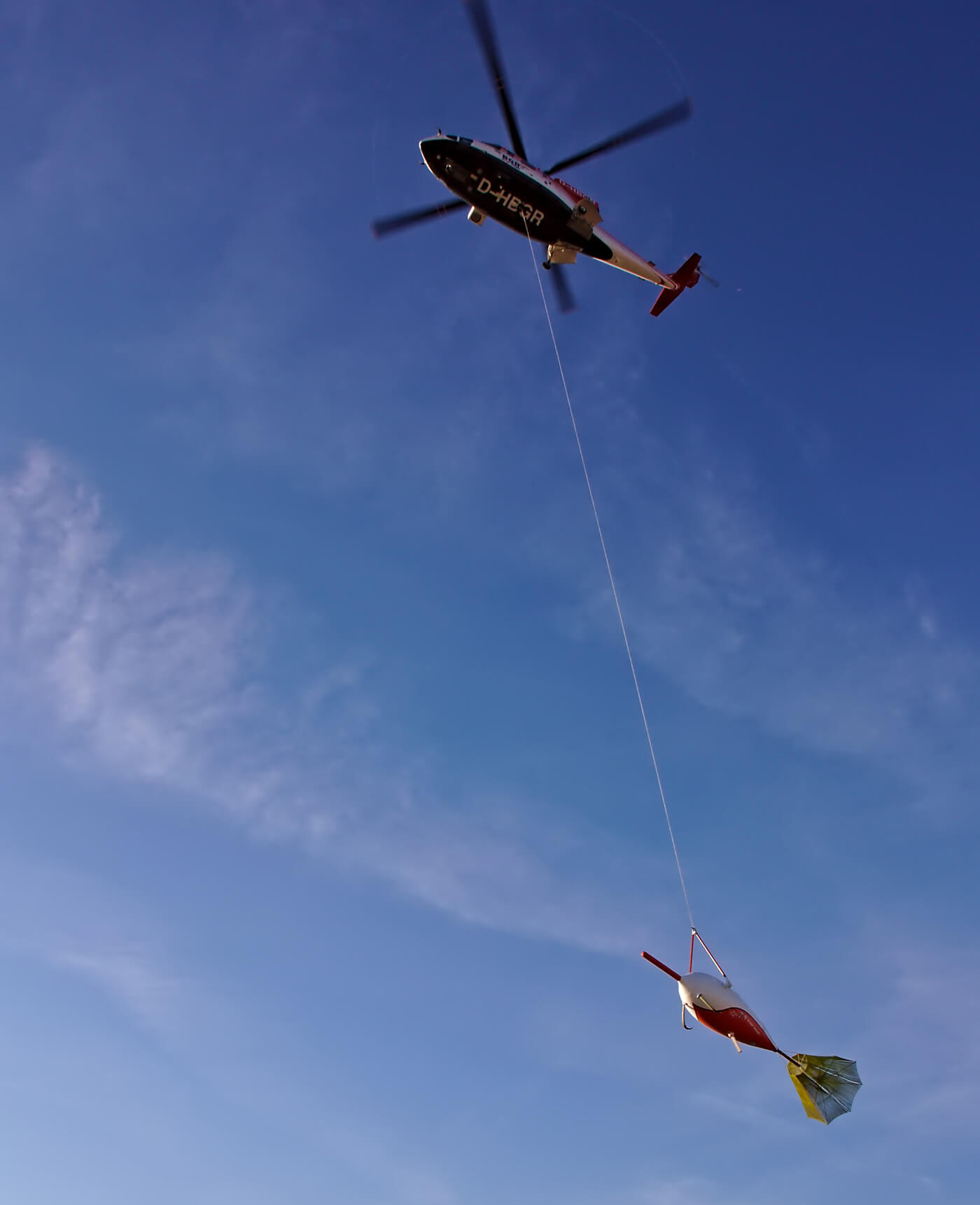
QMAGT (former JESSY STAR) is the world's first airborne SQUID-based measurement system for the acquisition of the full gradient tensor (spatial variations) of the Earth's magnetic field by using a helicopter or an airplane. The use of highly sensitive SQUID gradiometers with large dynamic range allows the detection of the smallest signals from geological structures with low magnetic contrast or large coverage depths. Due to the totality of magnetic information, even the characterization of buried structures is possible in addition to the localization, as required in the exploration of mineral resources and further geophysical investigations (e.g. groundwater search).
QAMT
The QAMT technology includes in the first step a new generation of readout for SQUID magnetometers, which is currently extended to full tensor gradiometry. The innovative readout immensely increases the slew rate and dynamic range of the measurement systems which opens up new fields of application in passive and active airborne electromagnetics. Thereby it is possible to reach detection depths above 1,000 m even in moving measurements and to offer a novel quality of prospecting results.
JESSY DEEP
JESSY DEEP, the world's most sensitive TEM measurement system for the exploration of raw materials and minerals, allows the evaluation of transients generated by transmitters for statements about the conductivity distribution in the underground. Compared to coil systems, the used SQUID sensors are capable of significantly better results due to the technology and sensor principle, especially at late measurement times after the current switch-off of the transmitter loop (and thus greater detection depths). The greater dynamic range as well as the higher sensitivity of the sensors enable significantly higher acquisition speeds caused by the possibility of using smaller transmitter loops.
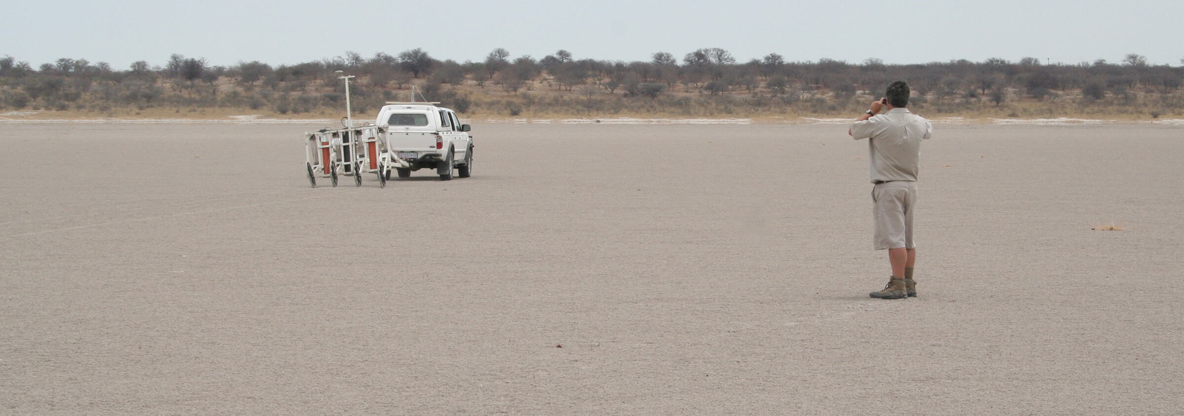
JESSY SMART
JESSY SMART is a measurement system for ground-based geomagnetic prospecting, focusing on detection and evaluation of near-surface anomaly sources in a wide range of applications, like infrastructure and building ground investigation, archaeological and shallow geological analysis, and investigation of contamination. Specifically adapted to an application, there are vehicle-drawn or hand-drawn modes of operation. The system allows area-efficient geomagnetic mapping of large survey areas with subsequent three-dimensional analysis of subsurface structures.